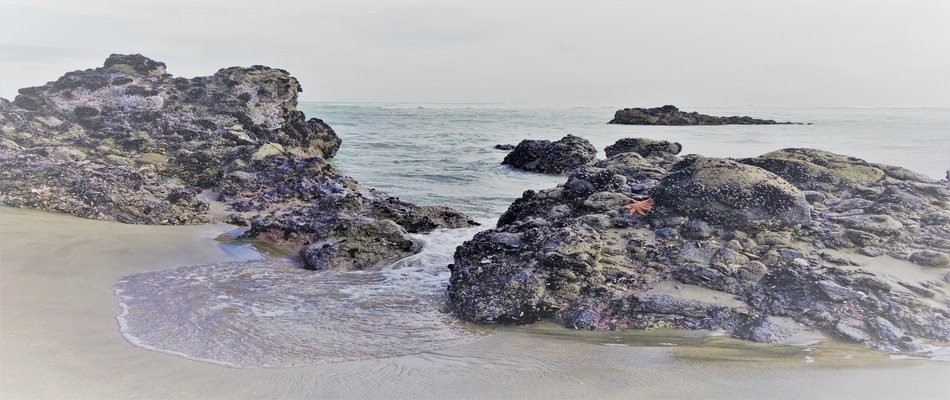
The purpose of this project is to record all life found in the intertidal zone of the Waitakere Ranges Heritage Area coastline from Muriwai in the north through to Whatipu in the south, and into the Manukau Harbour as far as Titirangi. Strictly speaking, Muriwai is not in the heritage area, but has always informally been considered as part of the ranges.
The main impetus for the ...más ↓
The purpose of this project is to record all life found in the intertidal zone of the Waitakere Ranges Heritage Area coastline from Muriwai in the north through to Whatipu in the south, and into the Manukau Harbour as far as Titirangi. Strictly speaking, Muriwai is not in the heritage area, but has always informally been considered as part of the ranges.
The main impetus for the project is the recent disappearance of biota in the many rock pools at popular coastal destinations like Karekare, Piha and Anawhata due to a massive ‘sand slug’ moving up from the south which is rapidly filling in these rock pools once magical and colourful and teeming with life.
Scientist Bruce Hayward explains what’s happening: “Sea level is currently rising (0.3m since the 1880s) and now most of New Zealand’s beaches and foredunes are eroding slowly as nature tries to restore the equilibrium between sand on the beach and the inshore seafloor. An exception to this occurs along the coast of the southern Waitakere Ranges, where the Whatipu sand flats and sand dunes have built out 1km from the rocky cliffs since the 1920s. This is one of the few areas of sand accretion on the coast of New Zealand at the present time and is the result of a unique situation.
In the last 250 years, sand that once formed an extensive coastal flat, attached to Awhitu Peninsula, has moved northwards across the mouth of the Manukau Harbour and built the Whatipu sand flats. At present the sand is continuing its gradual journey northwards up the west coast of the Waitakere Ranges. This appears to be a pulse of excess sand that was discharged onto the west coast by the Waikato River, soon after the AD232 Taupo eruption. This excess sand has been slowly moving up the coast since then. Observations in the last 50 years show that this northward longshore drift of sand continues today and in the last decade it has all but filled up Karekare Beach and its front is advancing into Piha.”
An excellent and detailed report on the intertidal plants and animals of the Waitakere Ranges coast by Bruce Hayward and Margaret Morley was published by Auckland Regional Council in 2004. All four parts can be viewed at the following links:
Part A: http://www.aucklandcity.govt.nz/council/documents/technicalpublications/TP298_Int_life_Waitaks_PartA.pdf
Part B: http://www.aucklandcity.govt.nz/council/documents/technicalpublications/TP298_Int_life_Waitaks_PartB.pdf
Part C: http://www.aucklandcity.govt.nz/council/documents/technicalpublications/TP298_Int_life_Waitaks_PartC.pdf
Part D – Maps: http://www.aucklandcity.govt.nz/council/documents/technicalpublications/TP298_Int_life_Waitaks_PartD.pdf
menos ↑